Inside new gov't plan to fix planning headaches
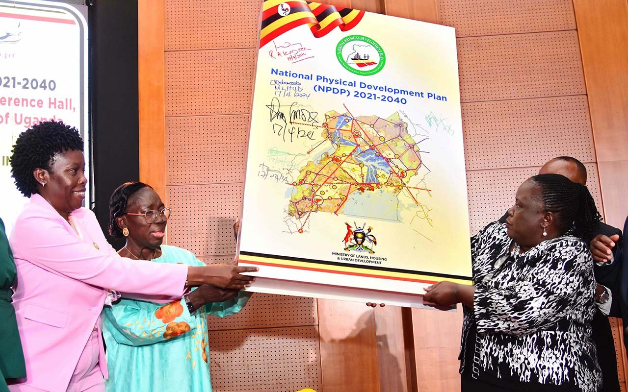
Left to Right: Lands Minister Judith Nabakooba, First Deputy Prime Minister Rebecca Kadaga and Lands Ministry Permanent Secretary Dorcas Okalany launch the National Physical Development Plan 2021 - 2040 at the Office of the President in Kampala on April 17, 2024. PHOTO/FRANK BAGUMA
What you need to know:
- NPDP, which aligns to the five-year rolling national development plans (used to implement Vision 2040), is an outcome of 11 regional stakeholder conferences discussed by thematic groups on government ministries, departments and agencies.
The government has unveiled Uganda’s maiden National Physical Development Plan (NPDP) to guide sustainable land use and development of viable, liveable and integrated cities and towns.
Derived under Vision 2040, the blueprint undergirding Uganda’s development and budgeting, NPDP mainstreams economic and social considerations into spatial planning, which is the production of physical spaces for competing human activities.
The framework envisages integrated development of settlements, linked to work places as well as economic and zoned agricultural hubs, powered by supporting infrastructure, among them, roads, air, water and rail transportation.

According to the proponents, NPDP will use population and urbanisation rates, projected to be 40 percent by 2040, to predict pressures on land and resolve potential future handicaps through informed urban planning.
The plan links population growth to natural resources and competition for land, a finite resource, and assigns inter-agency government teams to structure development to enable citizens of a modernising Uganda to meet their present needs without endangering future generations.
“In terms of land use, the NPDP predicts that the growing populations, even with larger scale, higher yielding productive farming methods, will put immense pressure on the country’s grasslands, forests, protected areas and seasonal wetlands,” reads part of the document.
Its proponents argue that the pressure on land is evident in encroachment of wetlands and other fragile ecosystems, including forests, which a coordinated multidisciplinary intervention envisaged under NPDP can stem.
It establishes a hierarchy of settlements, from primate city and secondary city to key towns; assigns strategic and secondary agricultural zones, national resources’ blocks and protected areas under principal land uses; and, subsumes transport systems and nodes and utilities under infrastructure networks.
NPDP, which aligns to the five-year rolling national development plans (used to implement Vision 2040), is an outcome of 11 regional stakeholder conferences discussed by thematic groups on government ministries, departments and agencies.
It adopts the “connectivity corridors that mark urban development along a national “triangle” that optimises the development of infrastructure and expressways …,” reads the document.
The Physical Planning Act, 2010, as amended, declares the whole of Uganda as a planning area, which means no development should take place in any part of the country unless in conformity with plan uses prescribed in structure and detail plans.
Under the law, prospective developers have to apply and get approval from local planning authorities such as parishes, sub-counties, town or municipal or city councils before commencing development, whether agriculture, housing, institutional or industrial development.
This, however, rarely happens in part, as Local Government minister Raphael Magyezi pointed out at the launch of NPDP last week, because local governments that “are at the core of implementing this plan” are short on manpower and resources.
“We need more staff recruited in different cities and districts’ physical planning units,” he said, adding, “We are glad the government has allocated Shs5b grant for physical planning in the next financial year, but we need more because there is a need for capacity building and supporting other logistics.”
The plan speaks to regional growth of urbanised zones and corridors constrained by agricultural and natural resource clusters.
The framers envisage a “polycentric settlement system, connected by a triangle of expressways” and the plan, which runs for the next 20 years, will make planners adapt to emerging changes in land use planning, technology and urbanisation.
NPDP orders a hierarchy of planning, linking the national to the regional to the local and vice versa.
Bureaucrats say the preparation of the NPDP was seen as a key part of the establishment of an effective land use planning system since it boosts the systematic preparation of physical plans at other levels for the whole country.
The plan looks at variations in population which is projected to increase by 40 percent by 2040, and gives proper guidance on utilisation of land, which is inelastic.
Framers of the plan argue that it is essential to assign compatible uses to land regulate spatial development to stem the tide of encroachment on grasslands, forests, protected areas and seasonal wetlands.

First Deputy Prime Minister Rebecca Kadaga at the launch the National Physical Development Plan 2021 - 2040 on April 17, 2024. PHOTO/FRANK BAGUMA
“The NPDP 2021-2040 guides the country by resolving the conflicting pressure on land use including infrastructure, settlement, agriculture, tourism, wildlife, industrialisation, mineral development, all aligned with the National Development Plan and Vision 2040,” said Ms Dorcas Okalany, the permanent secretary of the Ministry of Lands, Housing and Urban Development, the main brain behind the plan.
NPDP is premised on six pillars: guiding the country’s urbanisation, infrastructural development, industrial establishments, human settlement, agriculture, and defining, safeguarding protected and minerals areas.
Proponents hope the plan ensure siting of housing is linked to places of work and economic activities in order to make urban centres viable poles for local and national development.
It also takes care of environment, human capital, spatial economy, public services, infrastructure and governance alongside geo-physics, ecology, natural resources, nature protection and minerals. Lands Minster Nabakooba told this newspaper that plan will inform government decisions on service and utility provision; “like we shall know when a society needs a school, health center or a road, among others”.
This, she said, will be implemented by using the planners within local governments to begin planning for their areas to avoid urban sprawl where “we have been seeing mushrooming petrol stations and unplanned structures coming up on major roads”.
According to Ms Nabakooba, it will be mandatory for developers to construct storage buildings in cities, towns and other urban areas for better use of limited land.
“All developments in the cities and towns have been lacking a major guiding plan that specifically defines the proper utilisation of land. In these cities and all urban centers across the country, urbanisation is one of the transformative and challenging trends leaders are facing,” she added, describing the new plan as a panacea.
While addressing human capital development and social economy, the blueprint envisages growth poles of “localised inherent revenue producers with significant economic potential”.
“The key argument to explain the logic behind the growth pole-approach is the fact that growth is not uniform in different places, but growth has different degrees of intensity in different points, or poles, and then it spreads via channels such that its final result for the economy is specific to each region,” the proponent wrote.
The government intends to fully commercialise agriculture by zoning areas based on comparative advantage, providing soil testing facilities to enable locals know which type of plant grows well in each and build quality roads that connect farmers to numerous markets, both inland and abroad.
The strategic agricultural zones will be based on the already existing 10 agricultural clusters.
The zones are areas aimed at creating a concentration of producers, agribusinesses and institutions, usually in the same sector, addressing common challenges and opportunities, with the overall aim of facilitating consolidation and moving towards modern agriculture.
The plan seeks to protect 18 percent of the land that is covered by natural and ecological values; national parks, wildlife reserves, community wildlife management areas/sanctuaries, permanent forest estate, ramsar sites (wetlands designated as important under the 1971 Ramsar Convention), and central forest reserves.
“The key to improvement in road infrastructure is the definition of a new hierarchy. The highest roads in the hierarchy, defined as expressways, provide high mobility over long distances while low level roads provide local accessibility. Opposite this roadway are local and urban roads which provide high accessibility, but with low capacity and speed,” the plan stipulates.
Technocrats also analysed the aspects of availability of land for future activities relative to prior land use decision.
“The NPDP is based on these foundations, with the aim of ensuring that the elements of the physical plan are as far as possible ‘integrated’ with economic and social basis of national development planning,” the plan reads in part.
PS Okalany said integrating the plan with economic development plans will assist with the dissemination of national development plans down to local governments.
“The NPDP, therefore, contains an overall plan and programme for capacitating the physical planning system to be effective across the whole country, as it develops,” the document reads in part.