Excitement as Lake Wamala water levels rise

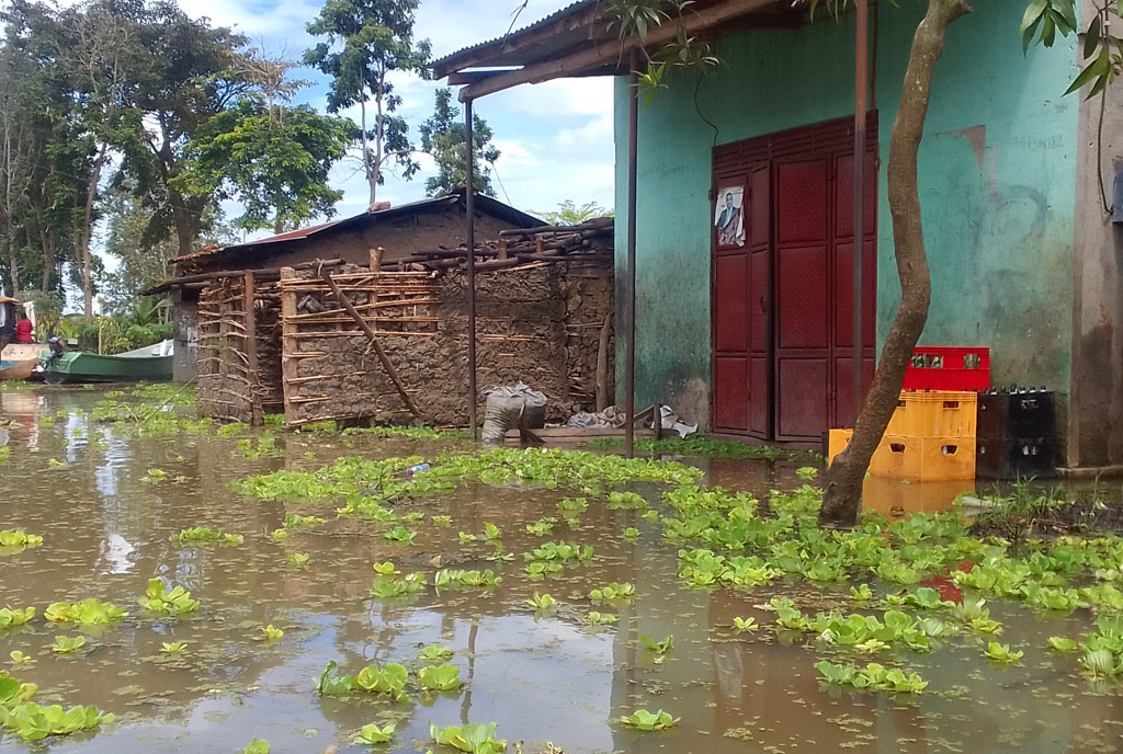
Residents push a boat on Lake Wamala. Conservationists are upbeat about the news that Lake Wamala has started regaining its water level which it lost in the 1990s. PHOTO | BABRA nALWEYISO
What you need to know:
- The conservationists attributed the development to the March-June heavy rains, experienced in the districts around the lake
Conservationists are upbeat about the news that Lake Wamala has started regaining its water level which it lost in the 1990s.
The conservationists attributed the development to the March-June heavy rains, experienced in the districts around the lake.
These include Kassanda, Mityana and Gomba.
“It’s true Lake Wamala water levels have risen. Some time back, the lake’s boundaries were demarcated, but the water has gone beyond the demarcated areas,” Mr Yasin Bbira, the Mityana District natural resources officer, said in an interview on Tuesday.
Mr Bbira said at least 100 metres out of the demarcated 200-metre buffer zone is currently covered with water.
“The lake has not reached the original size of 250km2 it had before, but it is significantly regaining and if we get more rain during the September-December rain season, a big change will be visible,” he said.
However, the rise in the water levels in the lake has caused flooding in some of the areas neighbouring the lake.
Mr Bbira blamed this on the residents encroaching on the lake land, saying by the time they settled there, the area had already been gazetted as a buffer zone.
“Residents affected by the rising water levels are the very people who constructed houses in wetlands and lake buffer zones. Between 1995 and 1998, the lake is estimated to have reduced by 50 percent and it is now trying to gain its original size,” he said.
“The wetlands they are destroying serve as breeding grounds for fish and we need to preserve them,” he added.
Mr Julius Tumusiime, a resident of Maanyi in Maanyi Sub-county, Mityana District, said the floods have failed to recede.
“For example, the two villages of Lubajja A and Lubajja B are still cut off by water even with the current dry spells,” he said.
Lake Wamala is a relatively large, shallow, fresh water lake, but the size fluctuates. It size shrank from 250 km2 to 180 km2 in 2009.
It has 26 landing sites, however, about 18 were cut off by suds.


