Author: Mr Karoli Ssemogerere is an Attorney-at-Law and an Advocate.
In 2022, I resurrected my old road-rat habit. That year, I didn’t drive, I was relieved from the driver’s seat after I overshot, the main highway to Uganda’s mid-western riff, that drives through a concentration of the Nile basin’s most sensitive eco-system, the River Katonga through the districts of Lyantonde, Kiruhura, Kazo, Kitagwenda, and Kabarole before the tourism highway pops up just outside Fort Portal.
Later at my desk, in my daily trade, I was able to understand why this under-belly has been the biggest source of labour, overtaking Kigezi, the region with the largest segment of migrant labour to-date.
Starting in the late 1990s, fertility rates in this part of the country shot through the roof peaking at more than 7 children per woman and a relatively low mortality rate in a region with abundant food, agreeable weather and all sorts of natural resources. I saw some of the early warnings of the effects of climate change again on this trip.
The Fort Portal-Ntoroko-Bundibugyo highway that cuts through some of the most scenic parts of Uganda had been affected by mountain-slides. Nature stubbornly continues to co-exist alongside human activities in the Semliki gorge, the Sempaya Hot Springs and towns like Bundibugyo save for the street names look like Swiss villages in the evening heavy with mist and chilly weather.
In 2023, our road trip was in the districts of Kikuube, home to the Bugoma Forest reserve on a work trip that took me to the fringes of one of Uganda’s largest refugee camps, with about 150,000 inhabitants.
Nakivale close to Lake Mburo has about 180,000 inhabitants. Between these is very sparse population. The surface of the earth is dotted with human settlements, very rich fertile soils and increasingly foreigners plying these roads for treasures in the ground. In 2010, on a work trip that took me through northern Uganda to Kasese, we had asked how far the Kikuube-Fort Portal junction was in Hoima town, now city. No one seemed to have an idea of the distance between the two.
Now shiny road signs inform you how far you are from Kakumiro, Mubende etc. In this trip we woke up early to drive into the gates of Kabalega National Park or known by its colonial name, Murchison Falls. I was shocked to this day the game park roads were now partly paved.
Tourists were freely paying for road access inside the game park to West Nile. The other shock was the dark silence of the night, occasionally disturbed at 4am by a few sugarcane trucks. 15 years ago, someone in the corporate world came up with this idea that commerce could continue for 24 hours inside shops at fuel stations as active as the streetside markets in Kampala.
It was always amusing walking into a Shell shop at night and finding a worker “crucified” at the counter in the agony of sleep, completely oblivious to the world around them. I think that experiment was improved with night lighting. Older airplanes used to have physical shutters. Newer planes automatically “shutter” themselves through optic trips. The trains have quiet cars.
Two weeks ago I drove to Lira, this time through the lengthy detour eastwards. In 2024, a few times I caught myself speeding gently from Corner Kamdini to what is now Lira City. The expedition east, then north, was another refresher in geography, on the heels of another trip to the one earlier in the year close to Lwakhakha, the border with Kenya in Manafwa District.
On the detour, I told my travelling party to warm up with coffee in Jinja, at Java House the last official stop for that sort of drink in the evening. After some careful chasing we took the turn north east the Iganga-Tirinyi-Palliisa-Kumi-Soroti highway. The paved roads were more than silent in the dead of the night. There was some miraculous punctuations like the old trading centre Busembatia, a booming Palliisa town. We stop for gas in Kumi before we had an emergency tyre change. We all looked at each other, how we could have done this in the driving wilderness ahead. URA has some random checks.
Soroti now a city before we now turn left, to Dokolo and then Lira. The city is always welcoming at old hours, someone seems to have taught the people here to keep things running at night.
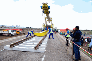
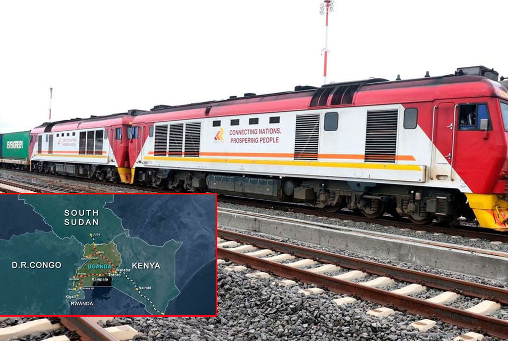
In my head scratching it, I wonder what would the train service do, if we had fixed the train first. All these areas once had train tracks all the way to Gulu where the 382km train line terminated. In 1965, it had reached Pakwach and it functioned in some form up to Arua in 1969, Kasese, 1956 and so on. The roads did something but the train could have done more.
Mr Ssemogerere is an Attorney-At-Law and an Advocate.
[email protected]
